TrailMark: The Commute, the Creek, and the Fine Print
I'm Tim Sherman. Most of my clients are chasing a dock or a beach view, but a good number of them end up buying inland instead — TrailMark near St. Augustine, FL (32092) is one of the communities that question comes up most. Here's what I tell them, starting with the part nobody puts on the listing sheet.
1. The NAS Jax and Mayport Commute, Honestly
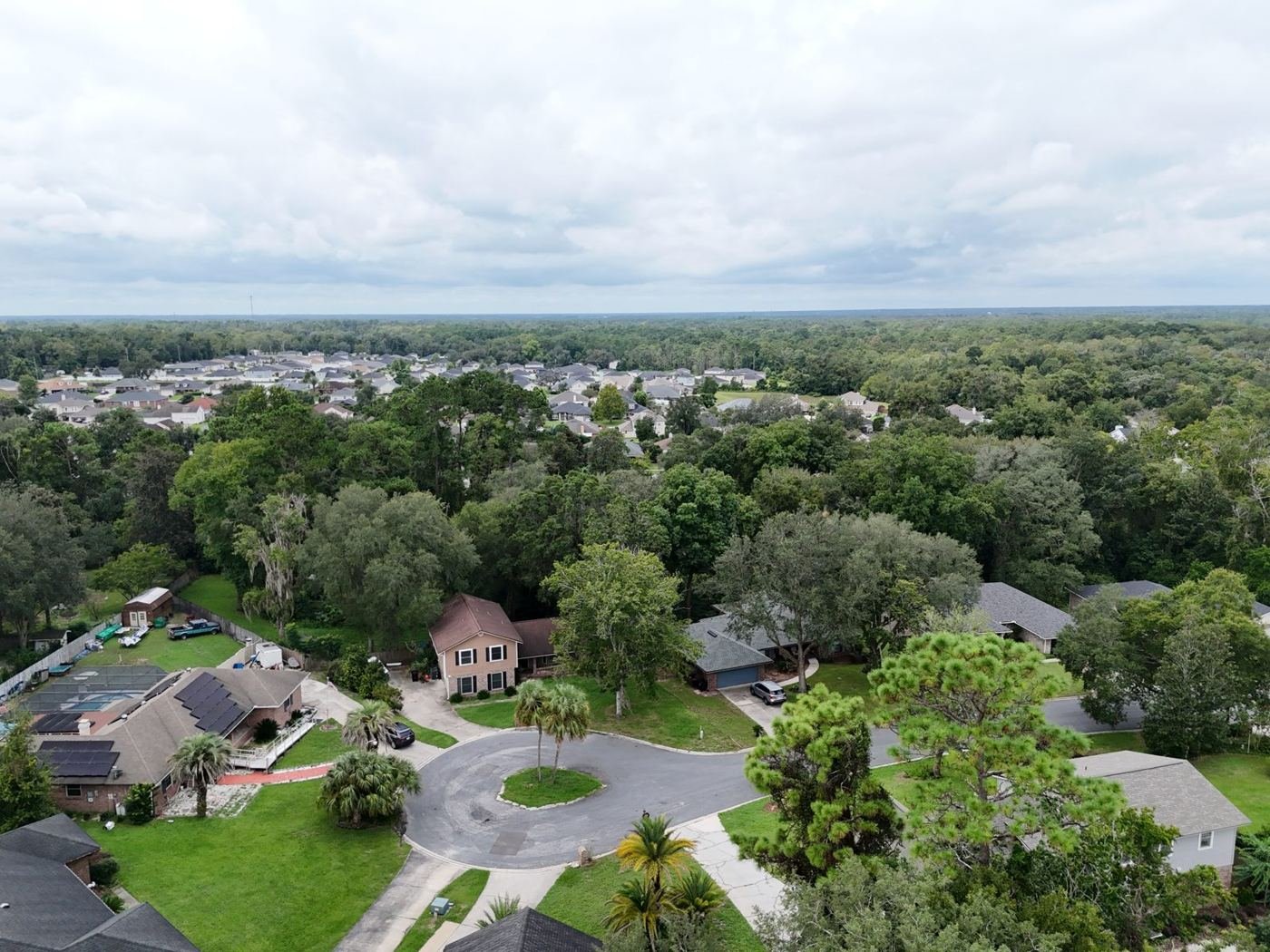
I get calls from active-duty and retired Navy families weighing TrailMark against a beaches-area address closer to NAS Jacksonville or Naval Station Mayport, and I answer it the same way I'd want answered: it depends on your gate hours, your shift rotation, and how much daily drive time you're willing to trade for a quieter, greenway-oriented setting. TrailMark backs up to conservation land and greenway trails, which is part of its appeal, but that buffer land also means a longer haul to the base gate than a coastal community would give you.
I'd rather run that math with you honestly before you write an offer than have you discover the real commute after the movers are already unloading. Sometimes the answer is TrailMark is worth it. Sometimes it isn't, and I'll tell you that too.
2. Wetland Buffers, Drainage, and the Flood Zone Question
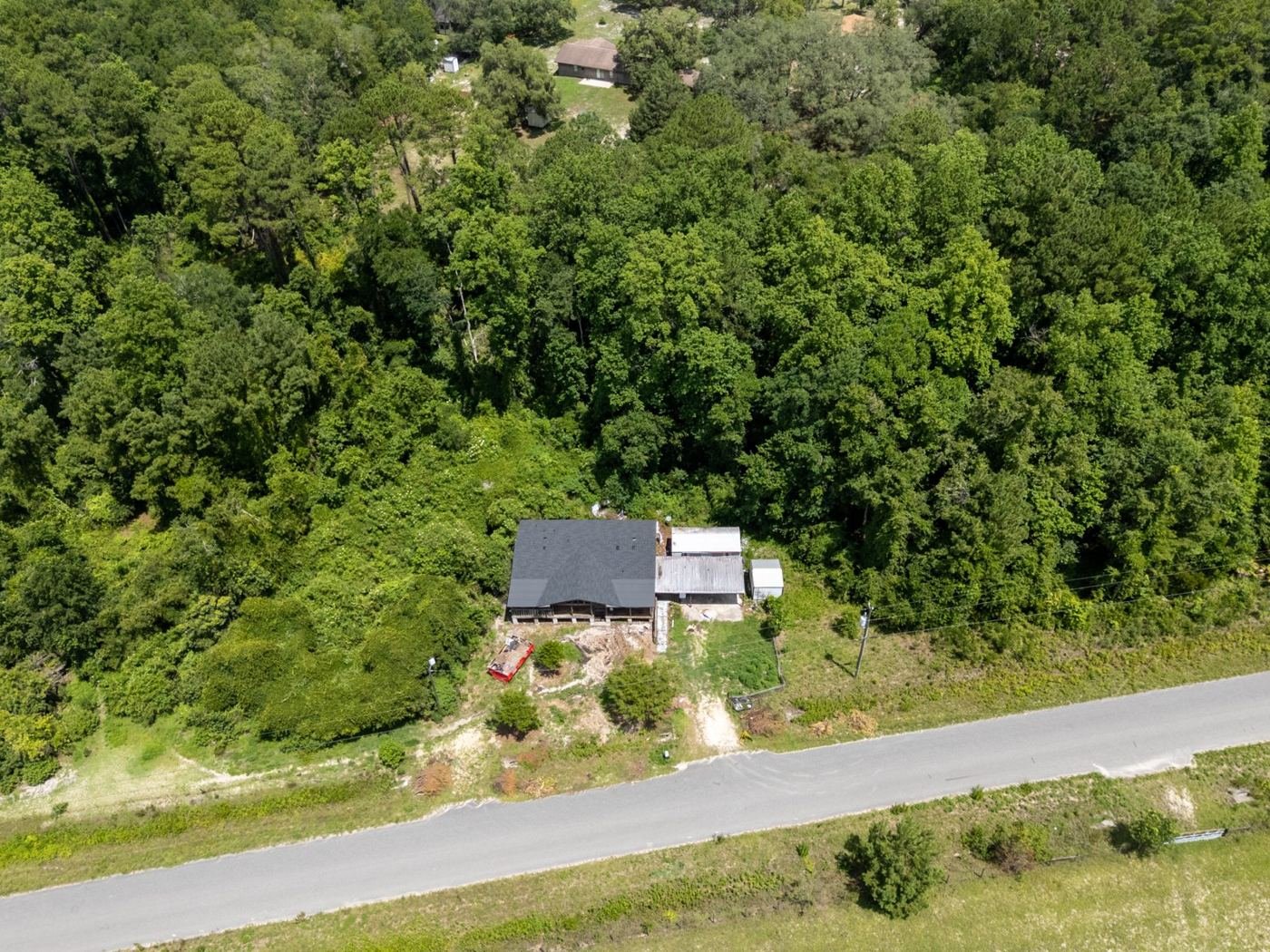
TrailMark's setting along its conservation buffers and surrounding wetlands is a genuine selling point — trails, conservation buffers, and a community built around the natural drainage rather than against it. That same proximity to a wetland and conservation system is exactly why I'd want to see the flood zone letter for the specific address before assuming the whole neighborhood carries one designation. Most of TrailMark maps to Zone X, the lower-risk FEMA category, since the developed lots sit up out of the floodway — but a lot backing directly to a wetland buffer can carry a different designation than one two streets over. I check this lot by lot, the same as I would for anything on tidal water.
The community's stormwater system — its ponds, swales, and conservation buffers — is doing real engineering work every time it rains. Ask to see the drainage plan, and if you can, walk the lot after a storm rather than only on a dry showing day.
3. CDD Debt and an Honest Read on Timing
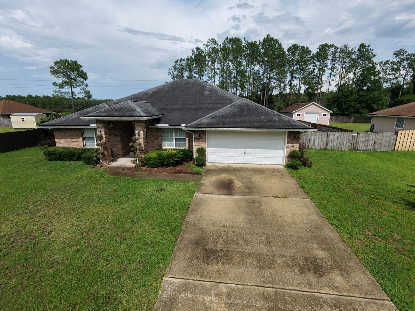
TrailMark carries Community Development District bonds that funded its roads, trails, and amenity center, and that assessment shows up on the tax bill in addition to any HOA dues. The balance and payoff schedule differ by phase, so ask for the current CDD figure attached to the specific address rather than a community-wide number — it's public record and there's no reason to guess at it.
On timing, I'll give you the same straight answer whether you're buying or selling here: sometimes the honest move is to wait, and I'd rather tell you that up front than push a deal that doesn't serve you. Call or text me at (904) 449-7146 and we'll talk through where TrailMark fits your plans.
Considering TrailMark? Let's Check the Water First.
Flood zone letter, drainage plan, CDD balance, and an honest commute conversation — that's how I start with every TrailMark buyer, military or not. No pressure, just a straight read before you commit.
Q: Is TrailMark a good fit if I'm stationed at NAS Jax or Mayport?
A: It can be, but the honest answer depends on your gate hours and shift schedule. TrailMark sits well inland along its conservation greenway, so you're trading a beaches commute for a greenway setting — worth running the math on your actual route before you decide.
Q: Is TrailMark in a flood zone?
A: Most of TrailMark falls in the lower-risk Zone X designation, but its border along conservation buffers and surrounding wetlands means some lots can carry a different designation than others. I pull the FEMA flood map for the specific address every time, not just the neighborhood average.
Q: What is the TrailMark CDD assessment and how do I find it?
A: It's a bond assessment tied to the community's original infrastructure, and it rides on the tax bill alongside HOA dues. The exact balance and payoff schedule vary by phase and lot, so I pull the current figure for the specific address rather than quoting a community average.
Who TrailMark Actually Fits
TrailMark fits buyers who want a greenway-and-conservation setting inland rather than a coastal address, and who are willing to trade some commute distance to NAS Jax or Mayport for quieter surroundings and a CDD-funded trail system. It suits someone comfortable pulling the flood zone letter lot by lot rather than assuming the whole community sits in Zone X. It's less of a fit if a shorter commute to the coast matters more than acreage and trails, or if carrying a CDD assessment on the tax bill doesn't work for your budget — both fair reasons to look elsewhere, and I'll run the honest comparison with you either way.
Sources
- FEMA Flood Map Service Center — pull the current flood zone determination for the specific address before writing an offer.
CDD assessment balances and payoff schedules are public record with the district and change by phase and lot — verify the current figure for the specific address with the St. Johns County Tax Collector or the community's CDD office rather than relying on a community-wide estimate.
Weighing TrailMark against a lot closer to the coast? That's a fifteen-minute conversation, not a sales pitch. Call or text Tim Sherman at (904) 449-7146.