Navigable Water & Deepwater Boat Dock Homes in Northeast Florida
A Navy vet and coastal waterman's guide to Mean Low Water (MLW) depth, fixed-bridge vertical clearances, tidal range, bulkhead construction, and SJRWMD/USACE dock permits from Amelia Island to St. Augustine.
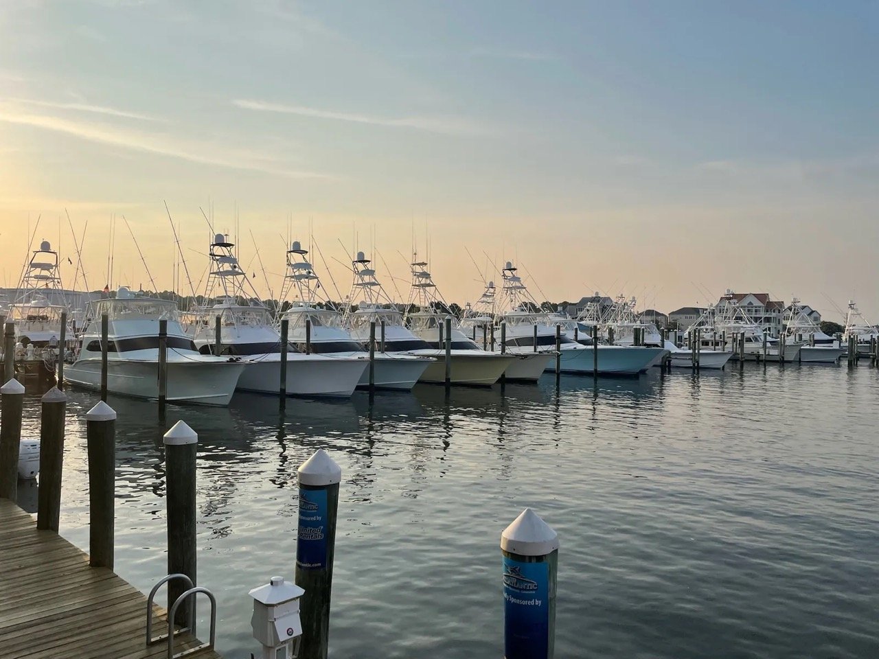
ICW Project Depth
12 Feet MLW
Main channel (verify feeder creeks)
ICW Fixed Bridges
65 Feet MHW
Butler, Beach, Atlantic, Wonderwood, Palm Valley
Coastal Tidal Range
4.5 – 6.0 Feet
Near St. Marys & St. Johns inlets
Atlantic Inlets
3 All-Weather
St. Marys, St. Johns (Mayport), St. Augustine
1. Northeast Florida Waterway Clearance & Depth Matrix
"Waterfront" in MLS remarks can mean anything from a retention pond to 12 feet of water at dead low tide. Before we tour a dock property, I match your vessel's draft, beam, and air draft (T-top,tuna tower, or sailboat mast) against the controlling depth between the slip and open water:
| Waterway / Basin | Typical MLW Depth | Controlling Bridge Clearance (MHW) | Distance to Atlantic Inlet | Best Suited Vessel Types |
|---|---|---|---|---|
| Intracoastal Waterway (Pablo Creek / Palm Valley) | 8 – 12+ ft MLW in channel | 65 ft fixed (Beach Blvd, Atlantic Blvd, JTB, Palm Valley) | 3–12 NM to Mayport or St. Augustine Inlet | Center consoles, sportfish, cruisers & sailboats under 63 ft mast |
| Queen's Harbour Yacht & Country Club | 6 – 10 ft controlled freshwater | Navigation lock to ICW (no low fixed bridge inside basin) | ~4.5 NM north on ICW to St. Johns River / Mayport | Motor yachts, cruisers, sailboats & offshore center consoles (protected from tide/wake) |
| St. Johns River (San Marco / Ortega / Mandarin) | 4 – 9 ft at dock (long pier runs) | Fuller Warren (75 ft), Buckman (65 ft), Dames Point (175 ft) | 18–26 NM downriver to Mayport Inlet | River cruisers, sailboats, bay boats, and lifted center consoles |
| Julington Creek (Inside vs. Outside SR-13 Bridge) | 4 – 7 ft MLW | ~13 ft fixed clearance at SR-13 Julington Creek Bridge | ~28 NM via St. Johns River | Inside SR-13 requires low-profile bay/ski boats or folding T-tops; west of SR-13 has 65 ft clearance |
| Matanzas River / Salt Run / Vilano (St. Augustine) | 5 – 12 ft MLW | Bridge of Lions (25 ft closed / unlimited bascule open), Vilano (65 ft) | 1–5 NM to St. Augustine Inlet | Deep-draft sailboats, sportfishers & offshore center consoles |
| Amelia River / Bells River / Fernandina | 6 – 15+ ft MLW | A1A Shave Bridge (65 ft fixed MHW) | 2–7 NM to St. Marys Inlet | All offshore vessels; note 5.5+ ft tidal swing on marsh creeks |
2. The 4-Part Marine Inspection Every Dock Buyer Needs
1. Sounding the Slip at Mean Low Water (MLW)
Never trust a seller's depth estimate taken at spring high tide. In Northeast Florida, a 5-foot tidal swing means a slip with "6 feet of water" at high tide is sitting in 1 foot of pluff mud at dead low. We sound the cradle and the approach channel at low tide during your inspection period.
2. Seawall, Tie-Backs & Riprap Integrity
Replacing a failing vinyl, concrete, or timber bulkhead along the ICW or river runs $450 to $950+ per linear foot. Look for sinkholes ("soil piping") behind the cap, rusted tie-back rods, outward bowing, and spalling concrete.
3. SJRWMD, FDEP & USACE Dock Permits
Dock footprints over sovereign submerged lands are regulated by the Florida DEP, St. Johns River Water Management District, and U.S. Army Corps of Engineers. We verify that existing lifts, boathouses, and terminal platforms were properly permitted and transfer cleanly.
4. Lift Capacity, Pilings & Shore Power
Marine-grade CCA 2.5 pcf wrapped pilings, stainless cables, gearboxes, and dedicated 30A/50A GFCI shore-power circuits must be inspected by a marine contractor — standard home inspectors exclude over-water structures.
3. Active Waterfront & Coastal Listings
Tell Tim What You Run — Draft, Beam, Length & Air Draft
Tim Sherman will filter out the tidal-mud lots and low-bridge traps so you only tour waterfront homes that actually fit your boat.
📞 Call Tim at (904) 449-7146